Land Surveying in Utah and Surrounding Regions
A land survey gives you the knowledge you need to understand and maximize your property. Meridian uses the latest equipment and technology to locate and document the property lines to complete a land survey.
Land surveys not only describe the property boundaries but can provide detailed information about the parcel, including the location of buildings and improvements made to the parcel of land. The process of land surveying can also offer you detailed information about any easements or rights-of-way on the property, help you determine if a neighbor is encroaching on your property, and provide you with any other necessary legal description of your land.
We Deliver Accurate, Detailed, Land Information
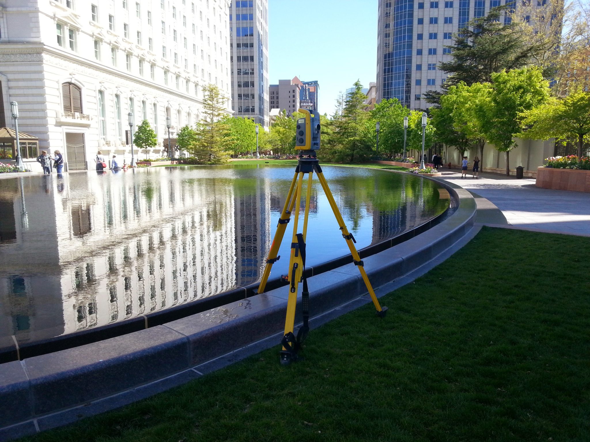
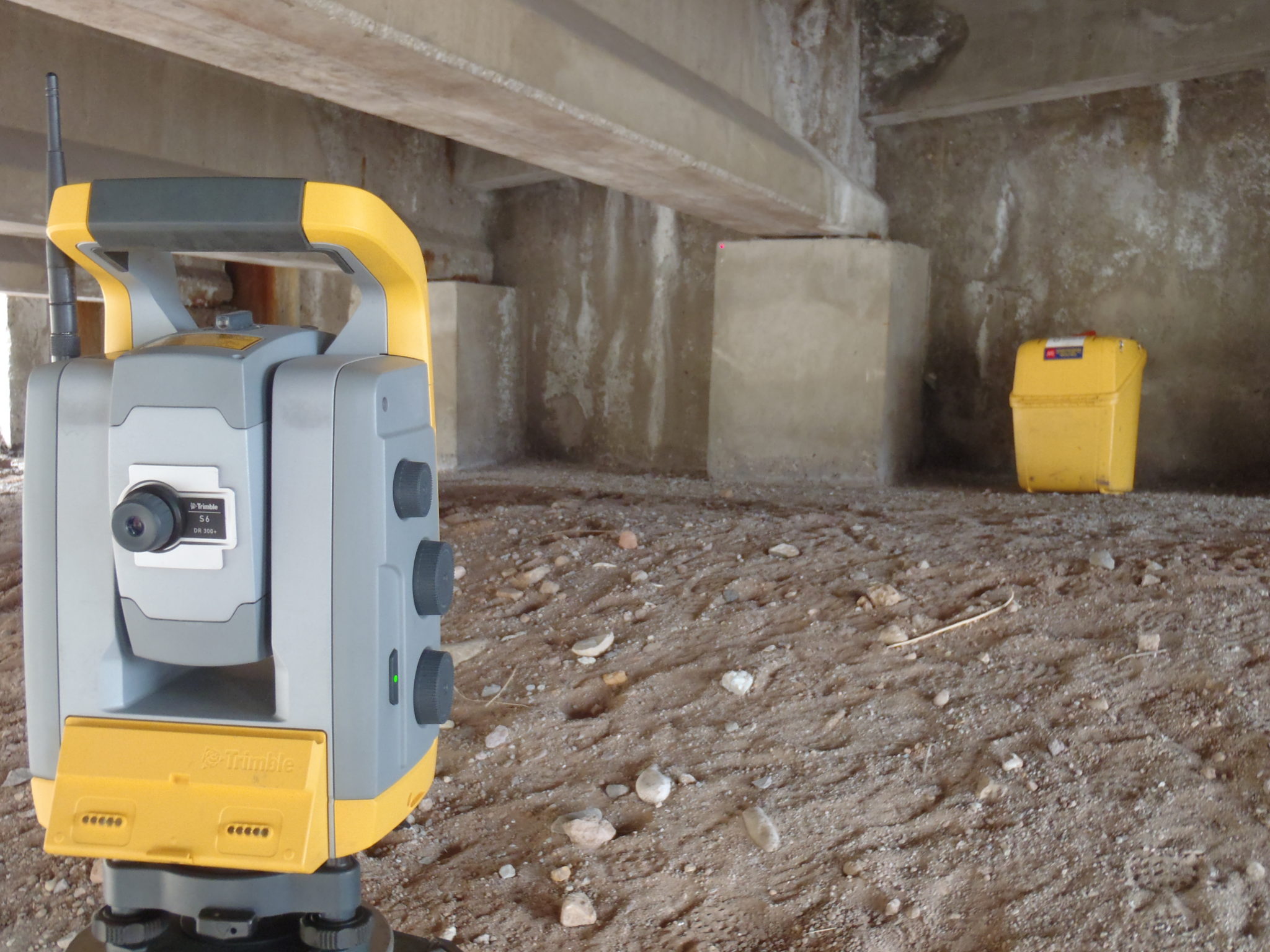
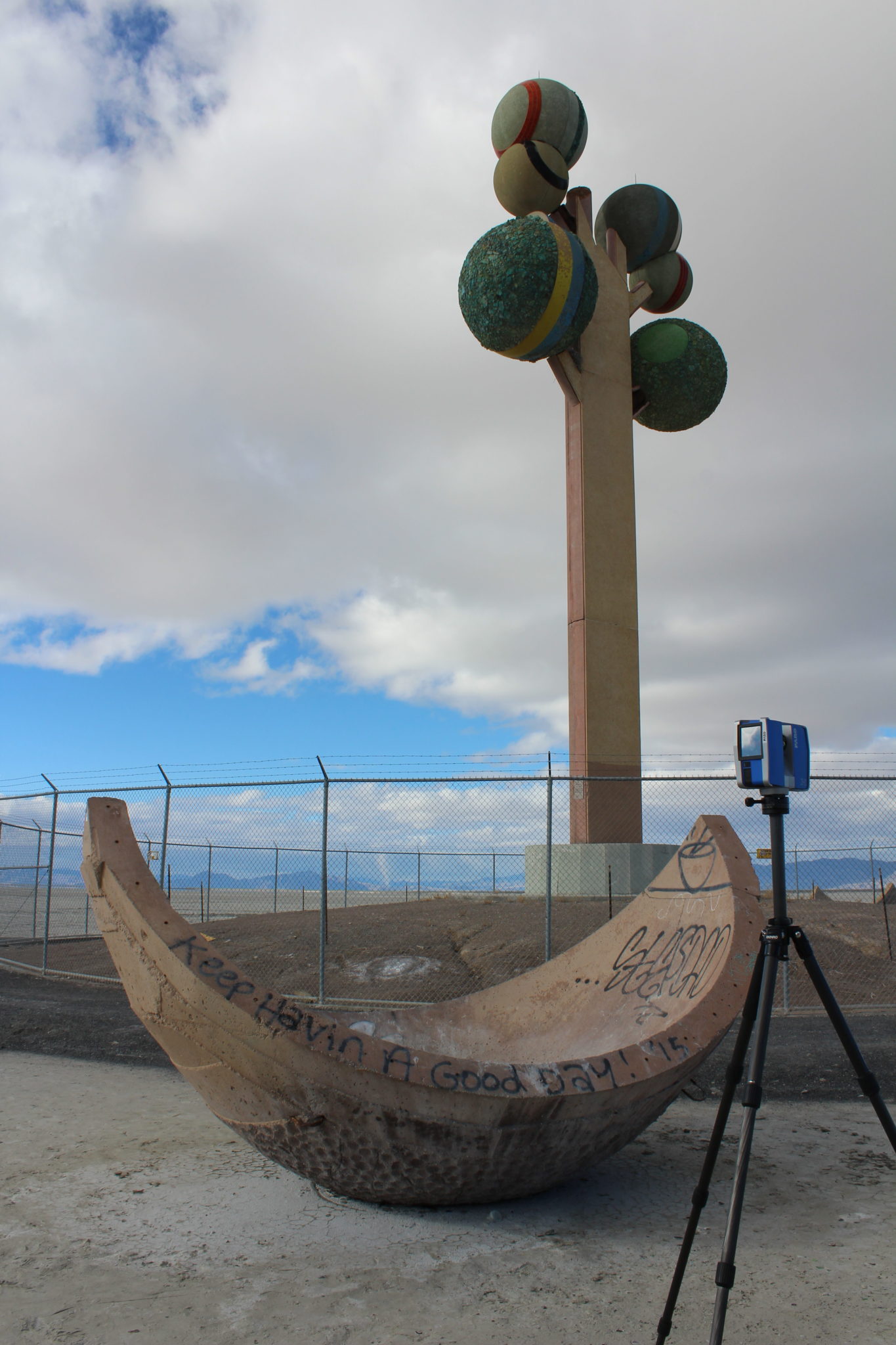
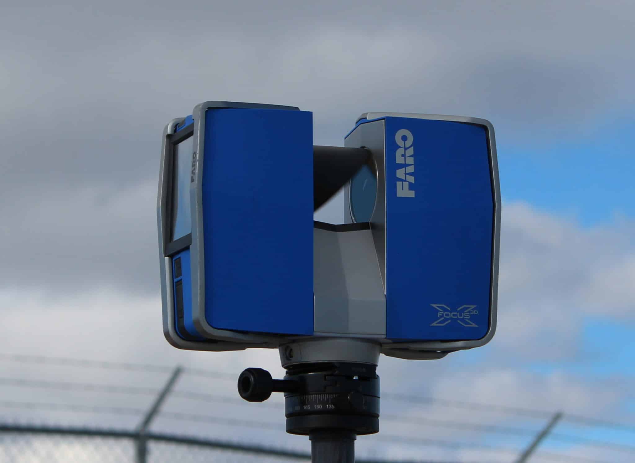
At Meridian Engineering, our experienced field crews perform precise measurements needed to compile area mapping using a variety of high-accuracy, technical field equipment. Based on the information collected from the field, one of our licensed surveyors will analyze the data to help determine property boundaries and conditions for future design and construction activities. At the conclusion of the survey, we provide our clients with the determination of property boundaries, prepared maps, and site plats.
We offer the following comprehensive services in these areas of expertise:
Residential Surveys
As a homeowner or potential homeowner, there might be a few reasons why you need land surveying services in Utah, Idaho, Nevada, Colorado or Wyoming. Resolving property line disputes, knowing where you can install a fence, and fulfilling requirements for a construction project are just a few reasons. Our professionals complete and document this information so you can move forward with your plans.
Commercial Real Estate Surveys
Completing some real estate contracts might require an ALTA/NSPS Land Survey. When performing ALTA/NSPS Land Title Surveys, Meridian understands the process of providing detailed land parcel mapping while showing existing improvements, easements and encumbrances of the property, utilities, and significant observations concerning the property boundaries. Meridian follows ALTA/NSPS Land Title Survey Standards effective Feb. 23, 2021. Our commercial real estate surveys can provide detailed topography information, locate features, and provide boundaries for a remodel project or new building. At Meridian Engineering, we recognize that land surveying in Utah and surrounding states is a large part of the real estate process and we’re here to help you simplify that process.
Industrial Surveys
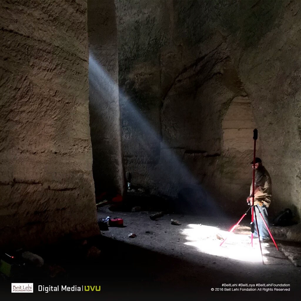
Our expertise and equipment allow us to complete complex surveys for contractors, engineers, and design professionals as needed. For our industrial surveys, we measure pipes, structures, and other industrial elements with the use of LiDAR. We understand the need for accurate modeling, measuring, and monitoring in our industrial surveys. At Meridian Engineering, we understand the needs of our industrial clients and the importance of safety compliance.
Meridian Engineering employs a large professional staff of Licensed Professional Land Surveyors who are supported by a proficient field and design staff. Our expertise in ALTA/NSPS Land Title Surveys, Records of Survey, and other boundary plats and maps is unparalleled in the industry. Our combined experience allows us to provide the client with a comprehensive product that will satisfy the needs of the project. Over the years, we have established ourselves as experts in land surveying and completed many complex projects.
Why Meridian is The Right Surveyor for the Job
With eight (8) licensed Professional Land Surveyors on staff, Meridian distinguishes itself from our local competitors by providing our clients with the widest range of licensed professional experience including transportation and connectivity, utility/energy, commercial development or private properties. Our knowledge of the survey/mapping and right of way design industry, and of the State laws governing the profession, continually represent our clients well.
Our Survey Manager, Michael Nadeau, is a Certified Federal Surveyor (CFedS). This allows Meridian to support you on any land surveying project involving tribal lands and other federal interest lands. Contact us today to get started on your next project.