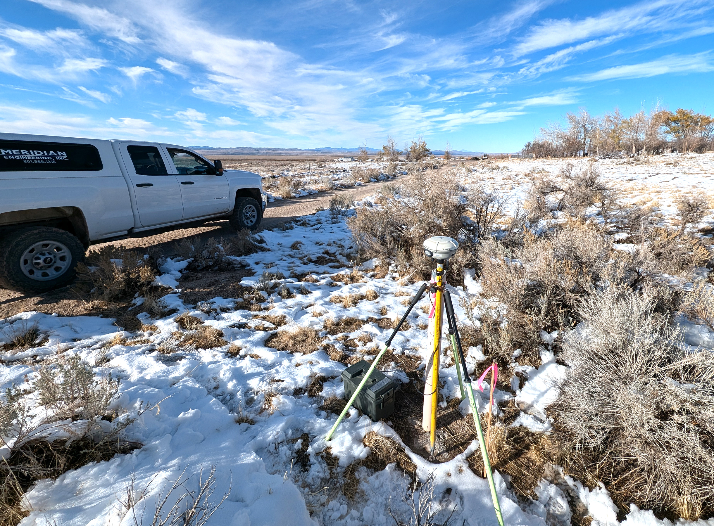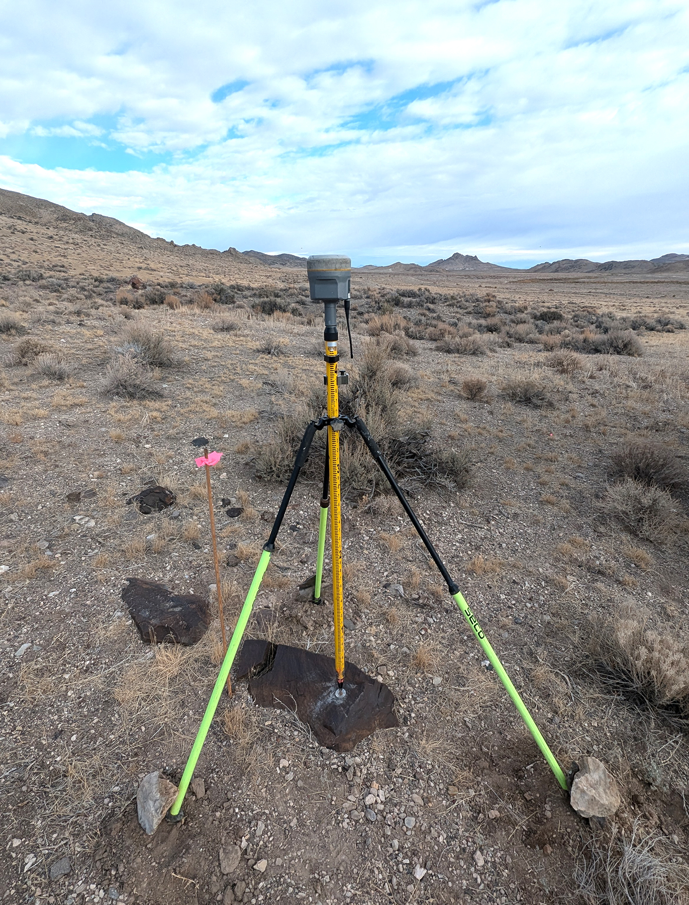
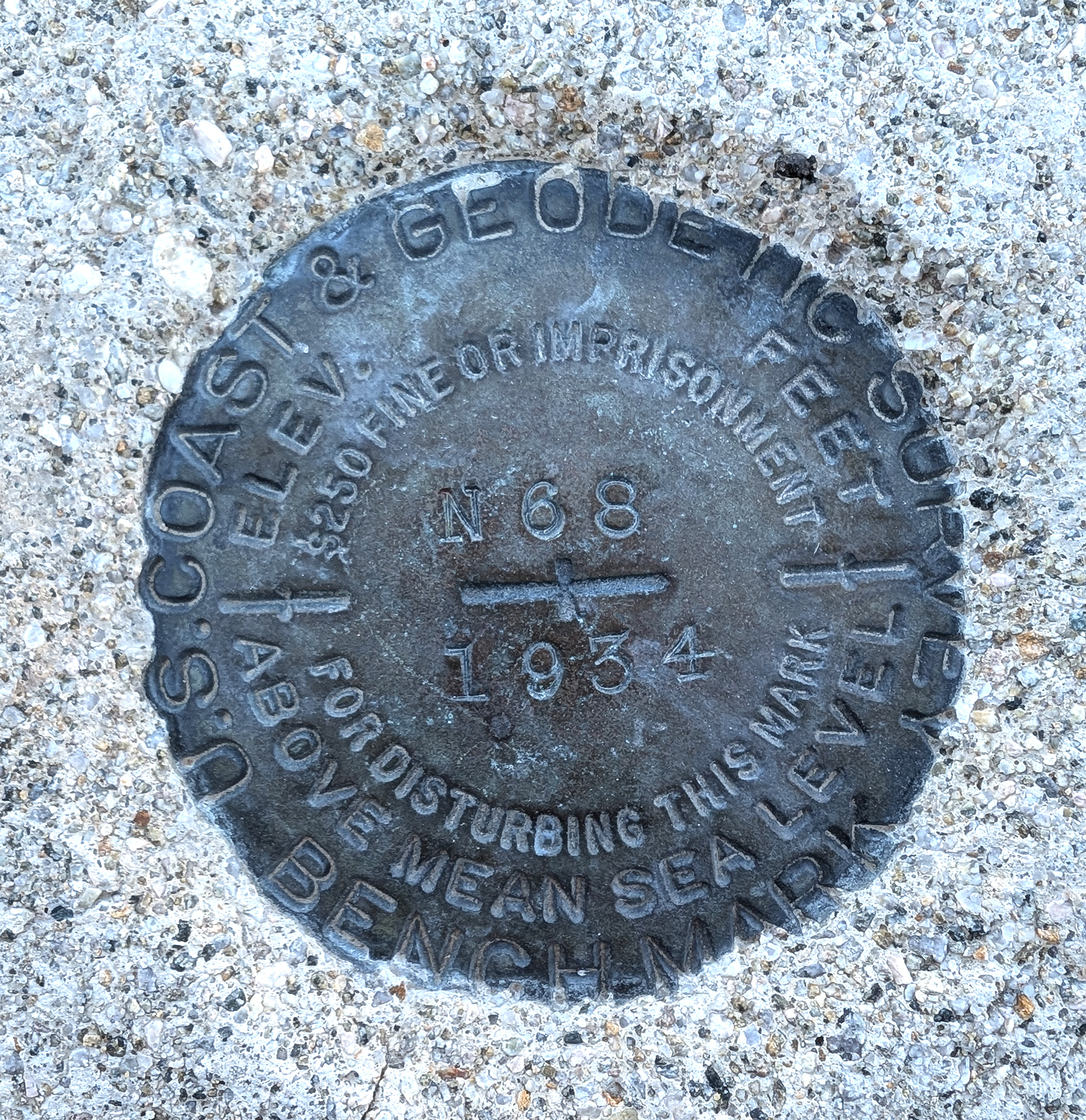
Meridian Engineering’s field crews recently conducted surveying services on BIA Route 1 Ibapah road through tribal lands. This road is requiring renovation due to deterioration over the years. Crews encountered a few interesting survey monuments dating back to 1934 along with enjoying spectacular desert scenery.
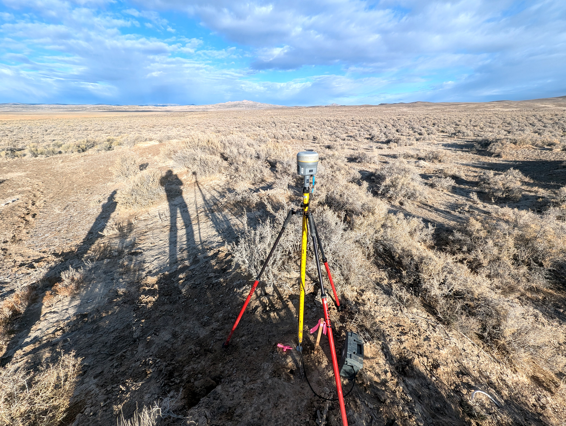
While partnering with UDOT Region 2, Meridian collected monumentation for the Public Land Surveying System with oversight support from our own Certified Federal Surveyor (CFedS), provided design quality mapping, and developed existing right of way files to support design for this 35-mile long corridor. Our scope included establishing a primary static GPS control network, identifying and observing right of way markers, performing UAV aerial surveys of the corridor, developing and leveling secondary control for the contractor, and creating detailed base mapping.
Our senior UAV pilot secured the necessary permissions for these aerial operations while coordinating with Tooele County, the Goshute Housing Authority, the Bureau of Indian Affairs, and ensured compliance with UDOT aeronautical requirements.