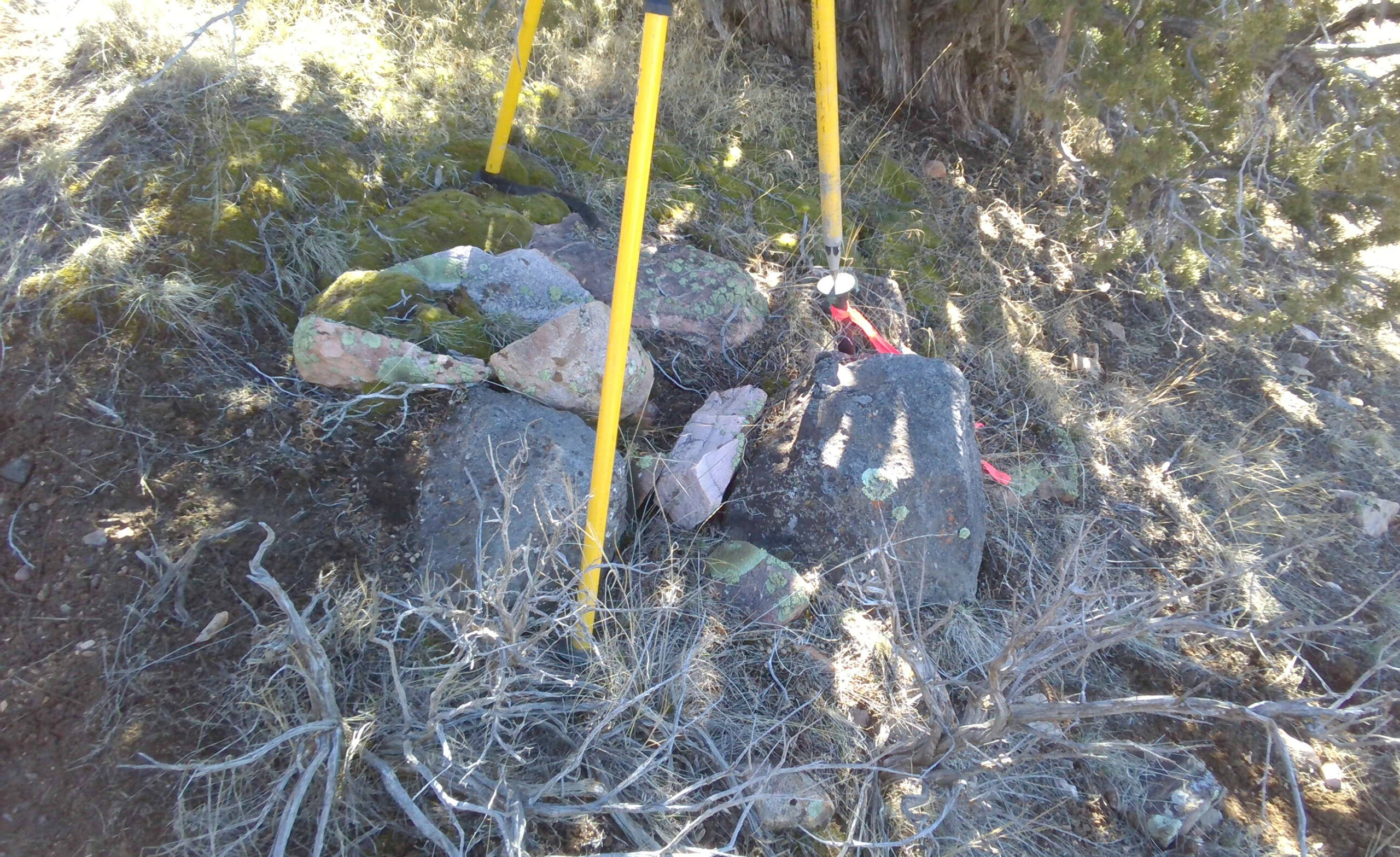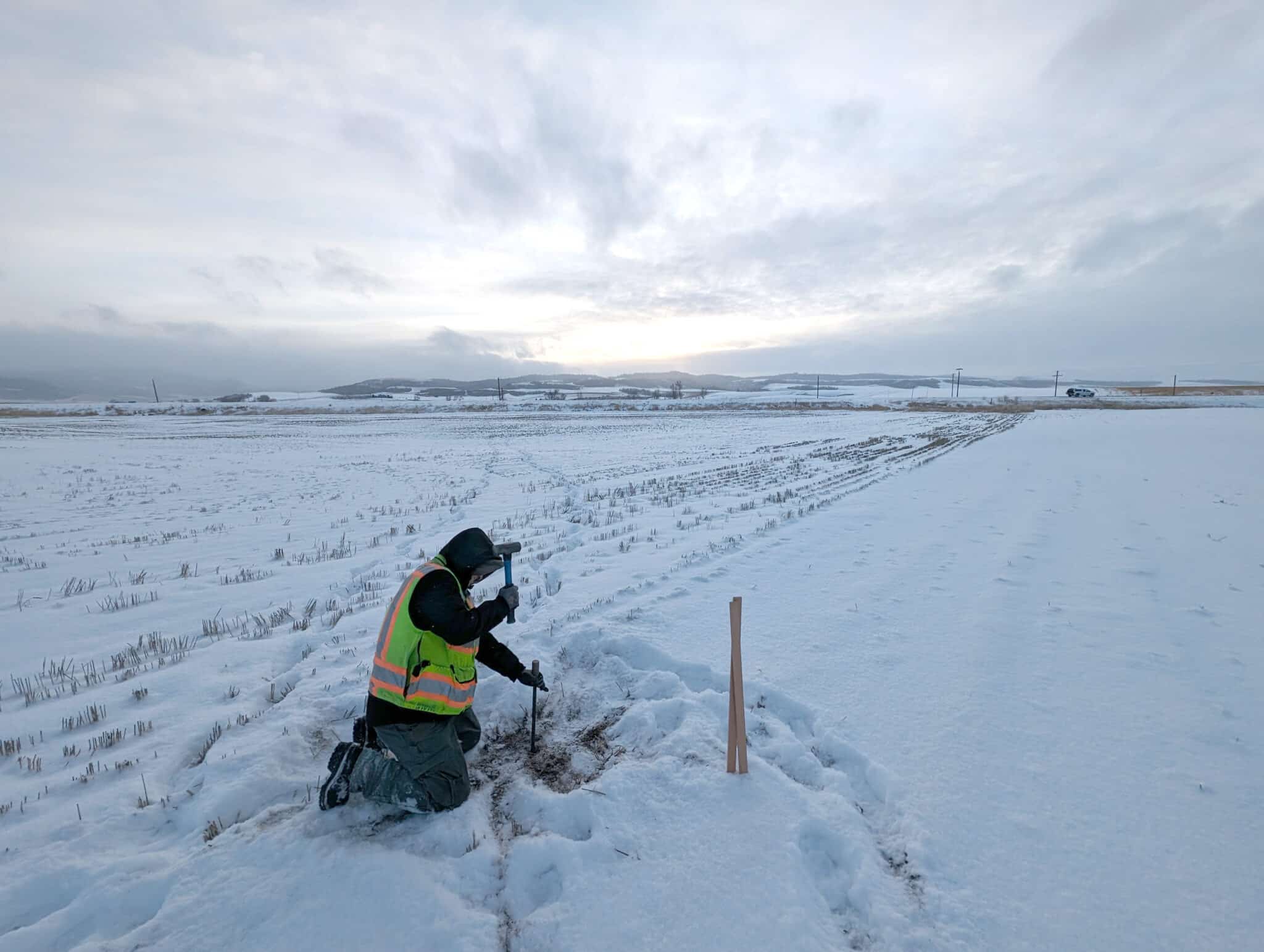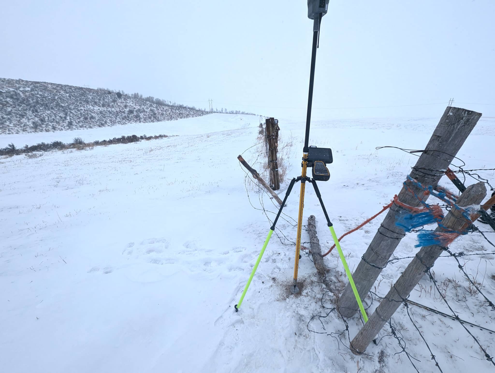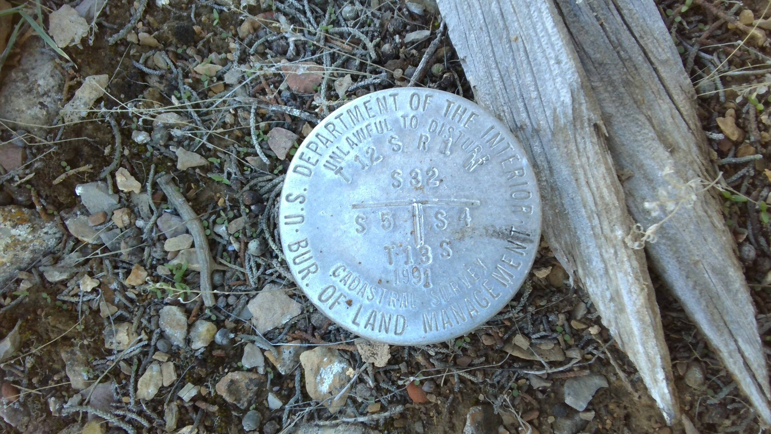
Earlier this year, Meridian Engineering’s field crews conducted surveying services on School and Institutional Trust Lands Administration (SITLA) parcels, retracing PLSS monuments and other deed controlling corners.
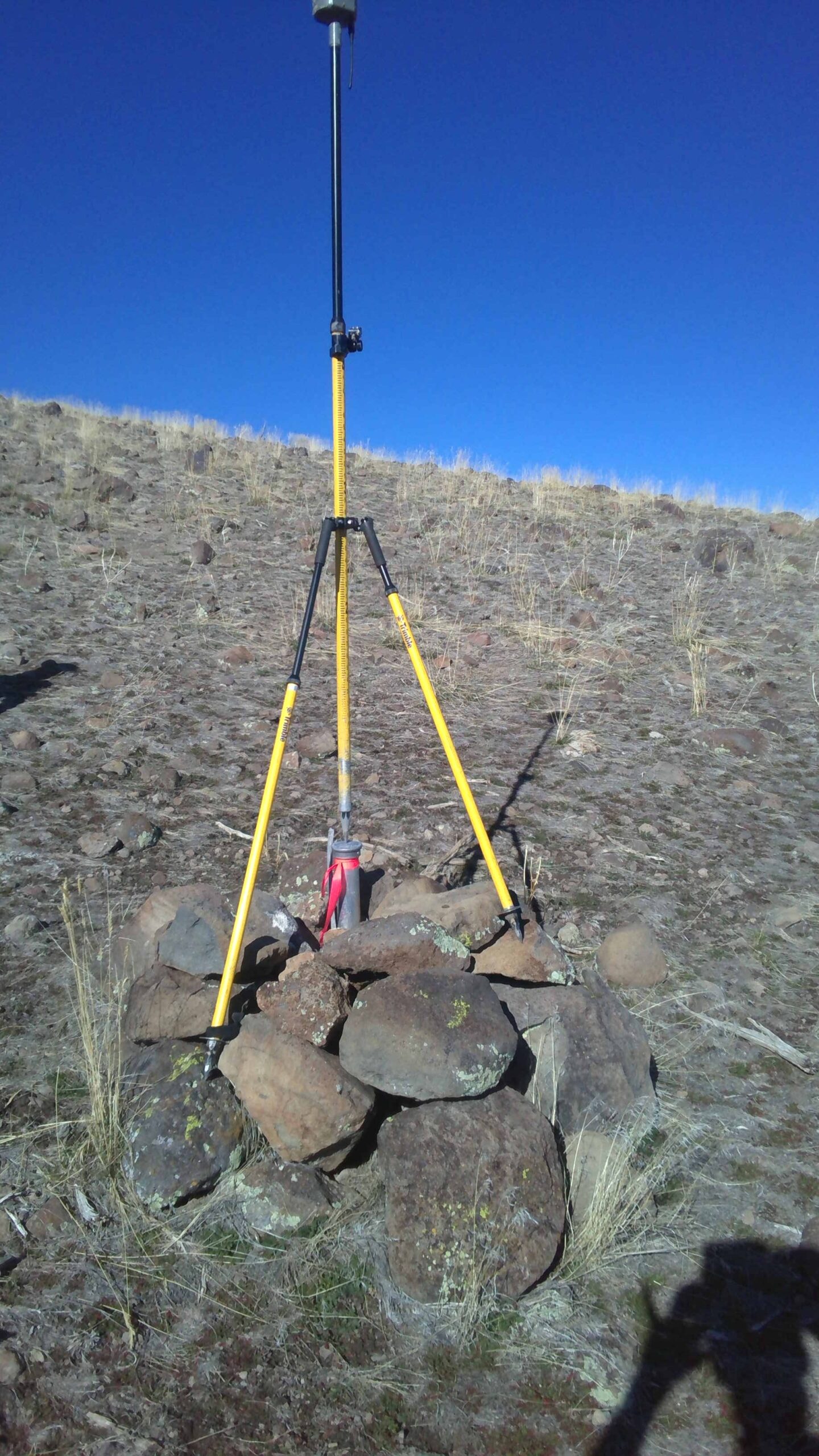
They also collected base mapping data of four contiguous parcels to identify existing property ownership for a proposed power line easement for NextEra’s Dog Valley Solar project, covering approximately 1,320 acres. In finalizing the project, our office staff led by Travis Jensen PLS, provided legal descriptions and right-of-way exhibits for the easement.