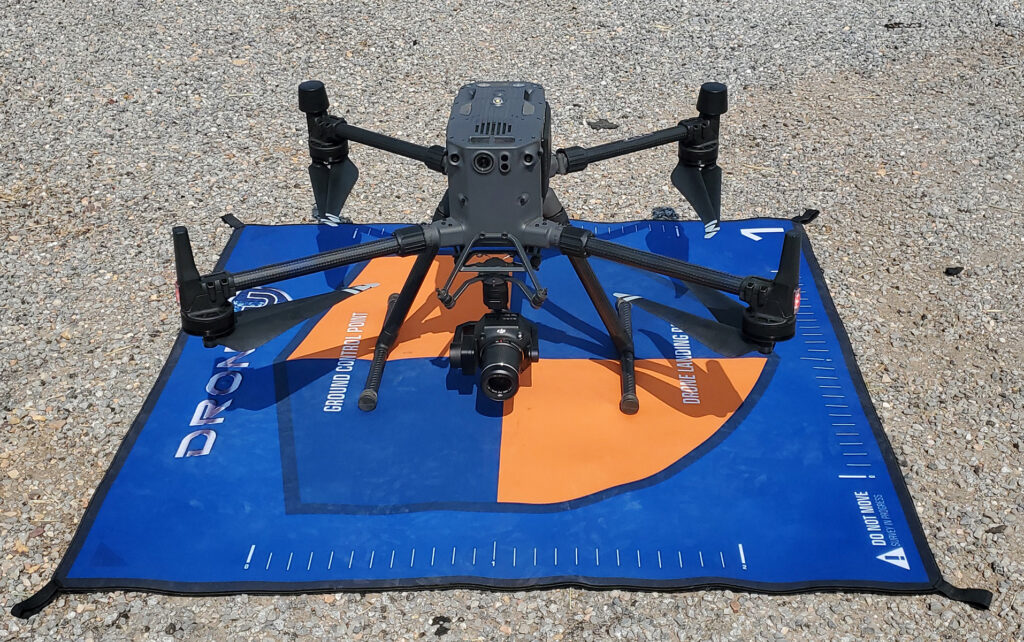
Meridian Senior UAS Pilot Freeman Marble, sUAV FAA part 107 remote licensed uses new drone technology for mapping a local project west of Salt Lake City of the existing area for future design and construction. M300 technology coupled with a P1 camera and Rock Robotic LiDAR sensor can efficiently classify raw point cloud data using Photogrammetry and LiDAR into actionable data sets for engineers and architects to use as a base for design documents.

These processes even help with transportation-related projects as it assists with the pavement inspection process by identifying utility markings in the road without the danger of being in the travelled roadway. It can scan to identify panels of concrete, walls, and bridges that need to be replaced or repaired while maintaining pilot safety from roadway and traffic.
Check it out in use:
https://youtu.be/RpKSOZpsaeo
https://youtu.be/ZttTeimOpgk
