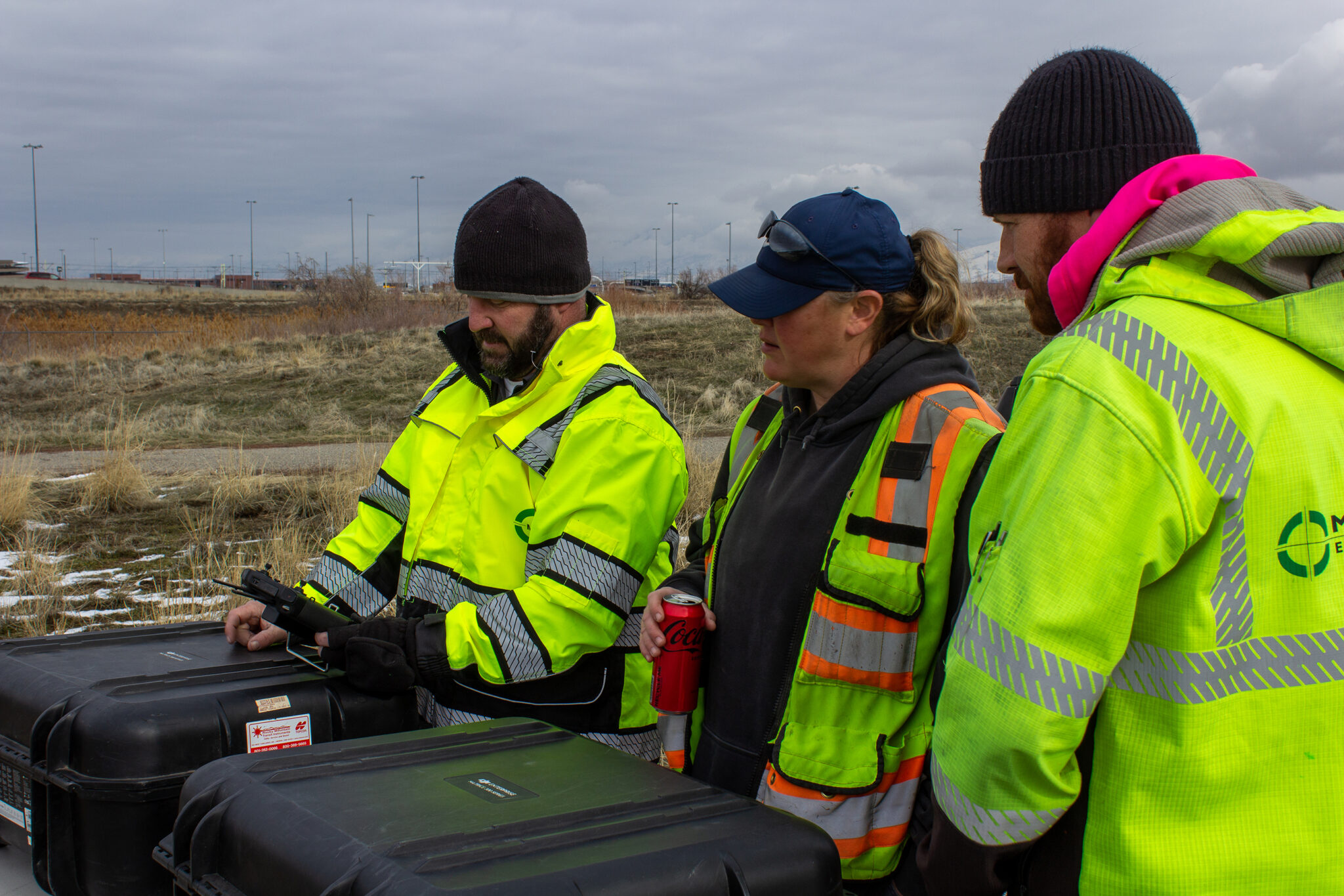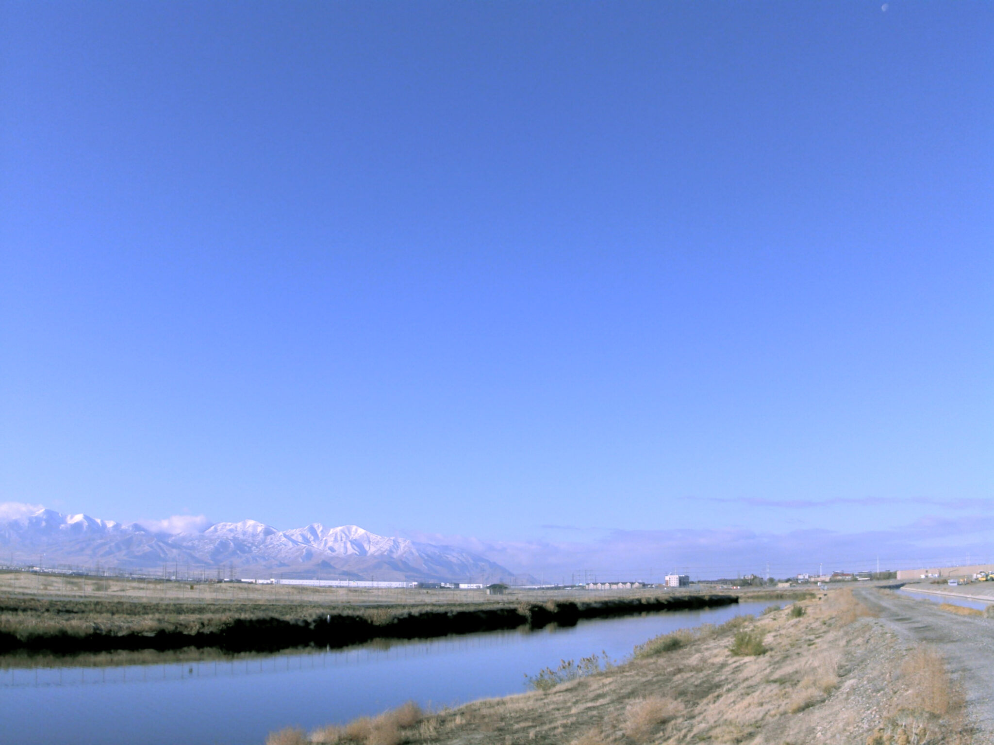
As the surveying and base mapping sub-consultant working under prime consultant, HNTB, Meridian field crews and office staff have been working with Salt Lake City Department of Airports on one of the most complicated topographic surveys in Meridian’s 25-year history. Extensive coordination has been required between the airport’s project management and operations teams, HNTB staff, and the FAA to fly inside active airspace over the project site with an unmanned aerial vehicle (UAV) to gather Aerial LiDAR and Aerial Imagery without disrupting plane flights.
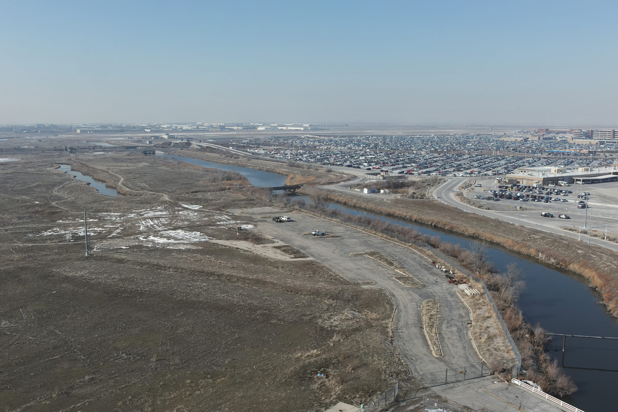
This project was a remarkable culmination of coordination, teamwork, and patience to facilitate the UAV flight missions, while avoiding peak aircraft flights and bad weather conditions such as wind and snow during a record-breaking Utah winter 2023. By using every tool in the toolbox, including digital levels, robotic total stations, GPS, sonar for bathymetric surveys, terrestrial LiDAR, airborne LiDAR, and some all-around technology savvy field crews coupled with knowledgeable office personnel, Meridian has completed a product to meet the design teams needs and ensure the project meets all regulatory requirements. Base mapping efforts of the project are complete.