Tag

Surveying

Meridian is loving its M300 drone’s ability for achieving high accuracies over large areas at a relatively low cost to clients.   

By Project Progress

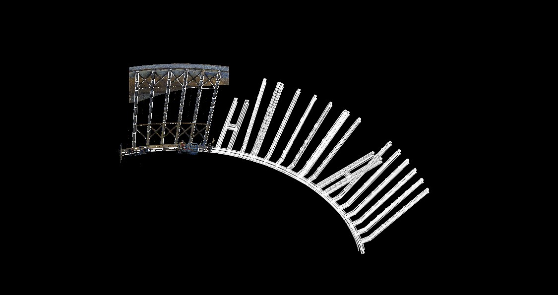
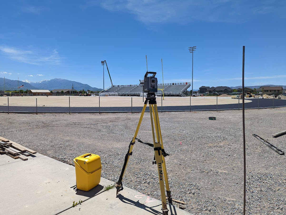
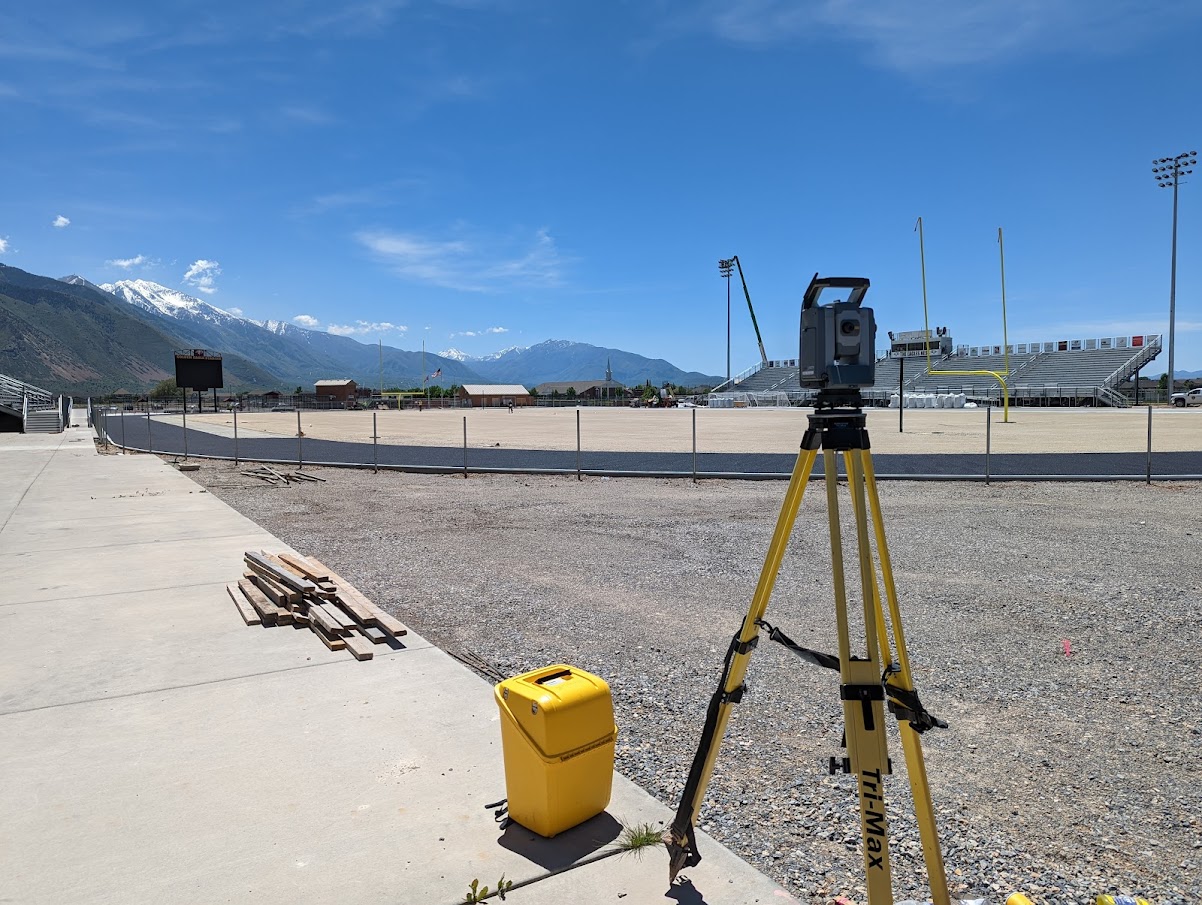
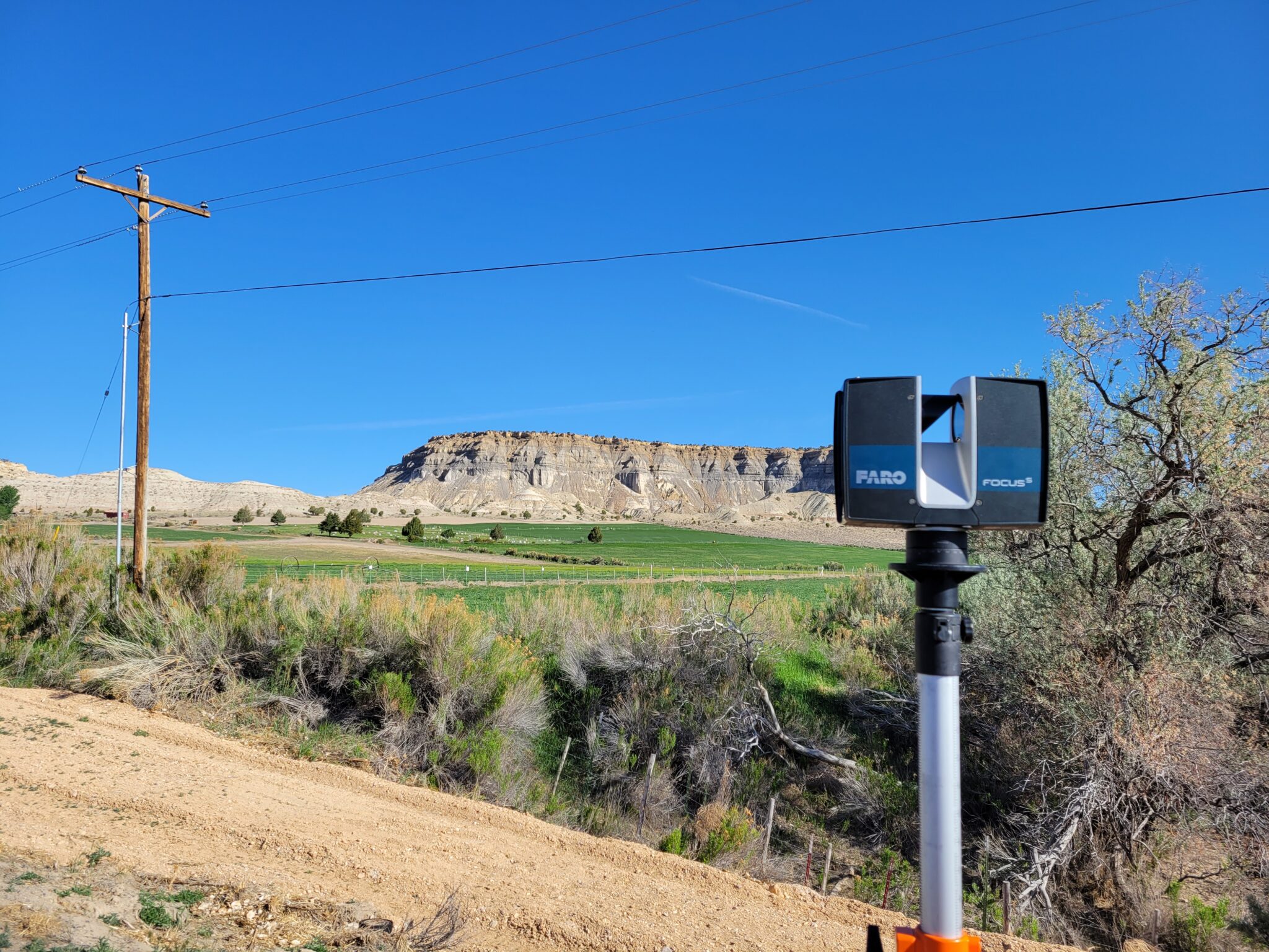
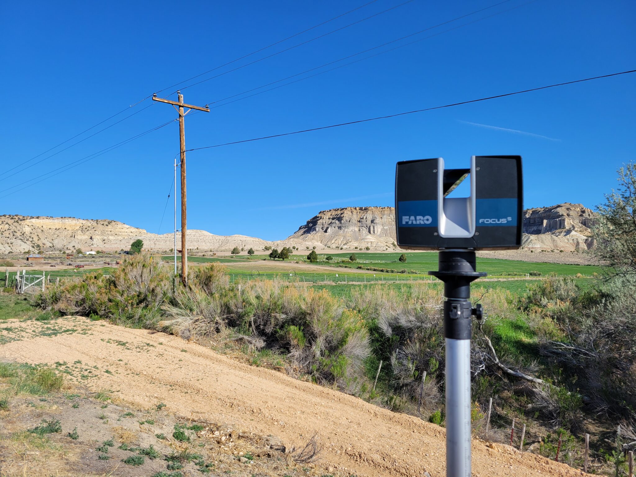
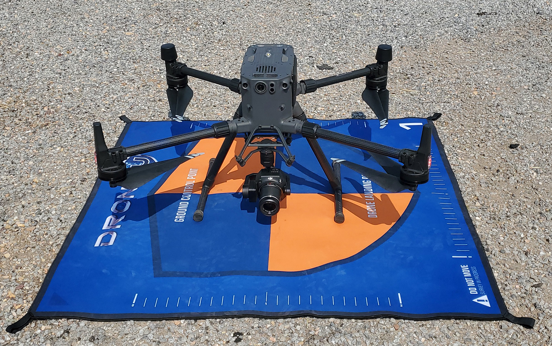
Meridian Senior UAS Pilot Freeman Marble, sUAV FAA part 107 remote licensed uses new drone technology for mapping a local project west of Salt Lake City of the existing area for future design and construction. M300 technology coupled with a P1 camera and Rock Robotic LiDAR sensor can efficiently classify raw point cloud data using Photogrammetry and LiDAR into actionable data sets for engineers and architects to use as a base for design documents.


 These processes even help with transportation-related projects as it assists with the pavement inspection process by identifying utility markings in the road without the danger of being in the travelled roadway. It can scan to identify panels of concrete, walls, and bridges that need to be replaced or repaired while maintaining pilot safety from roadway and traffic.

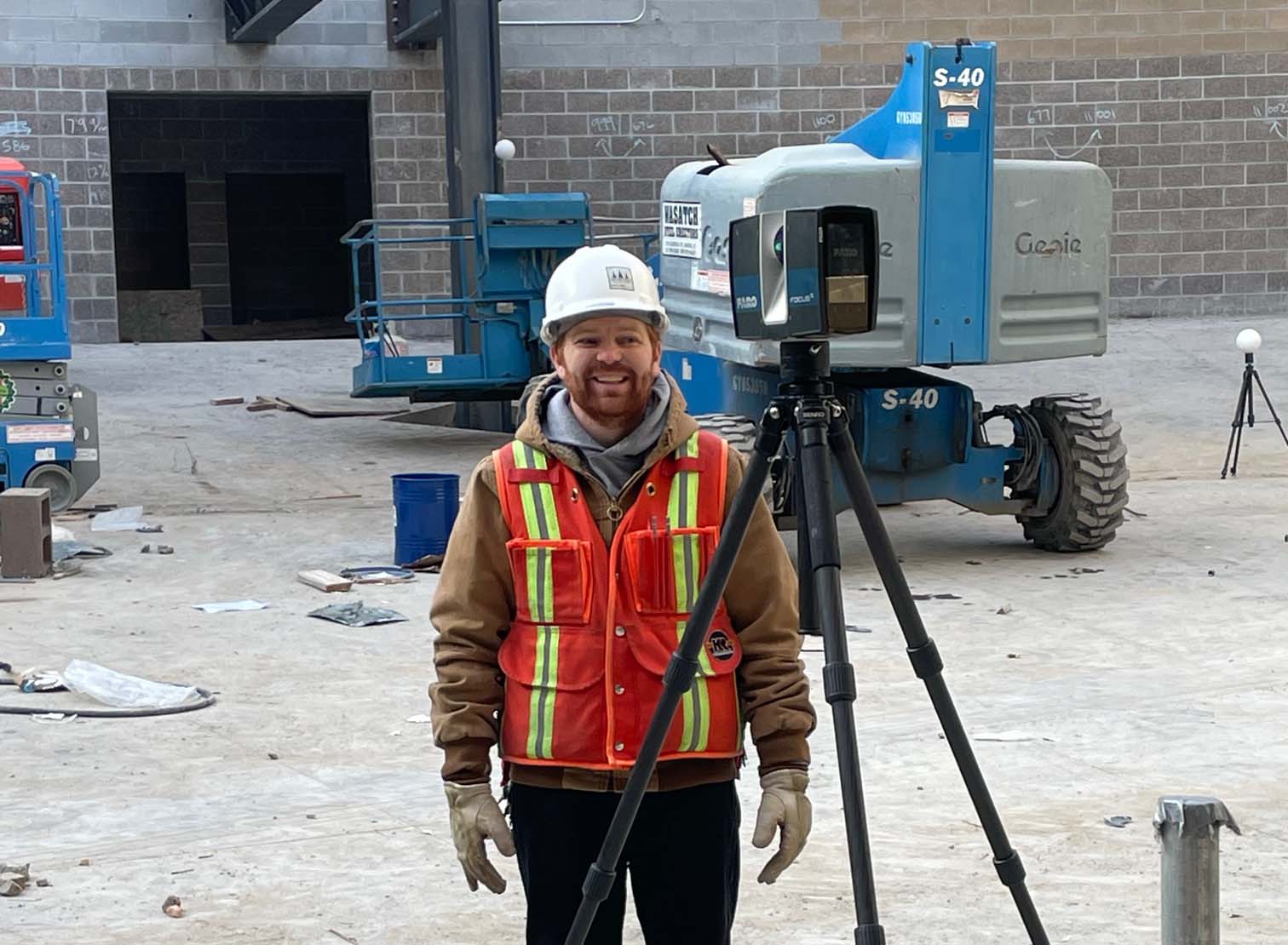
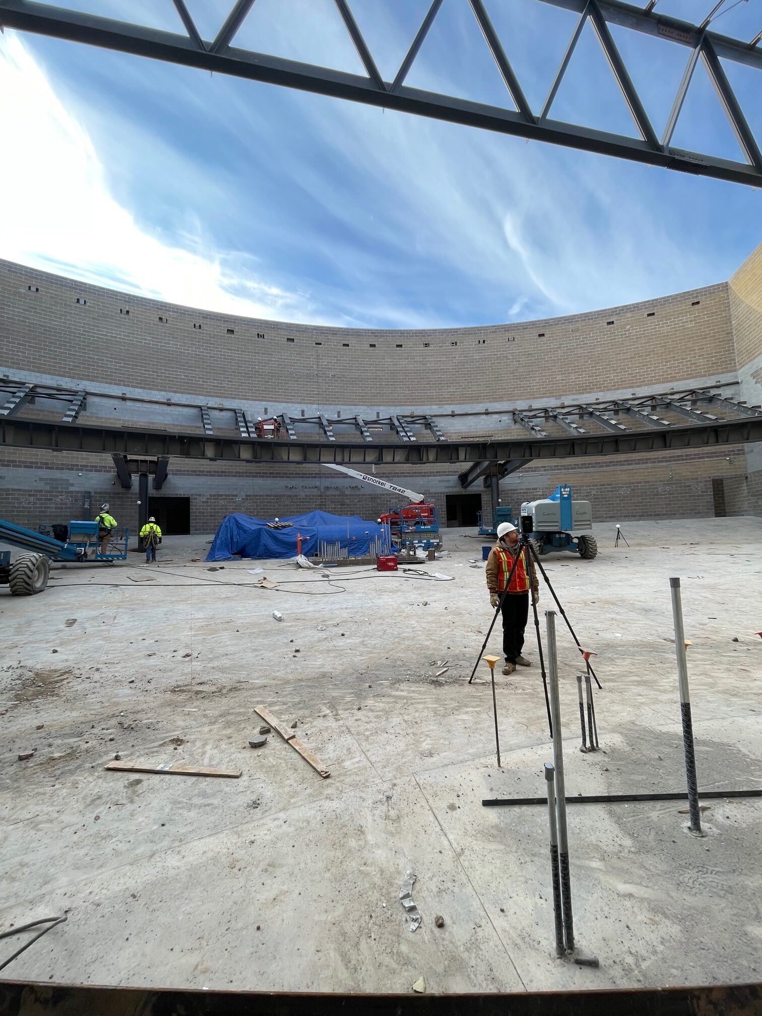
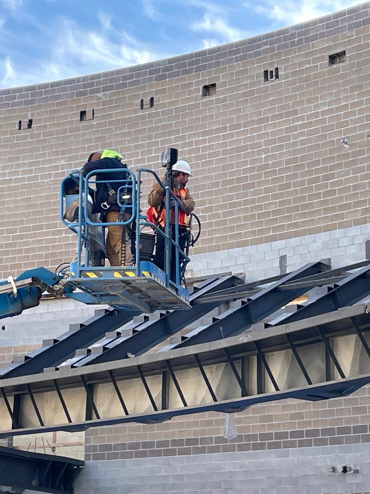
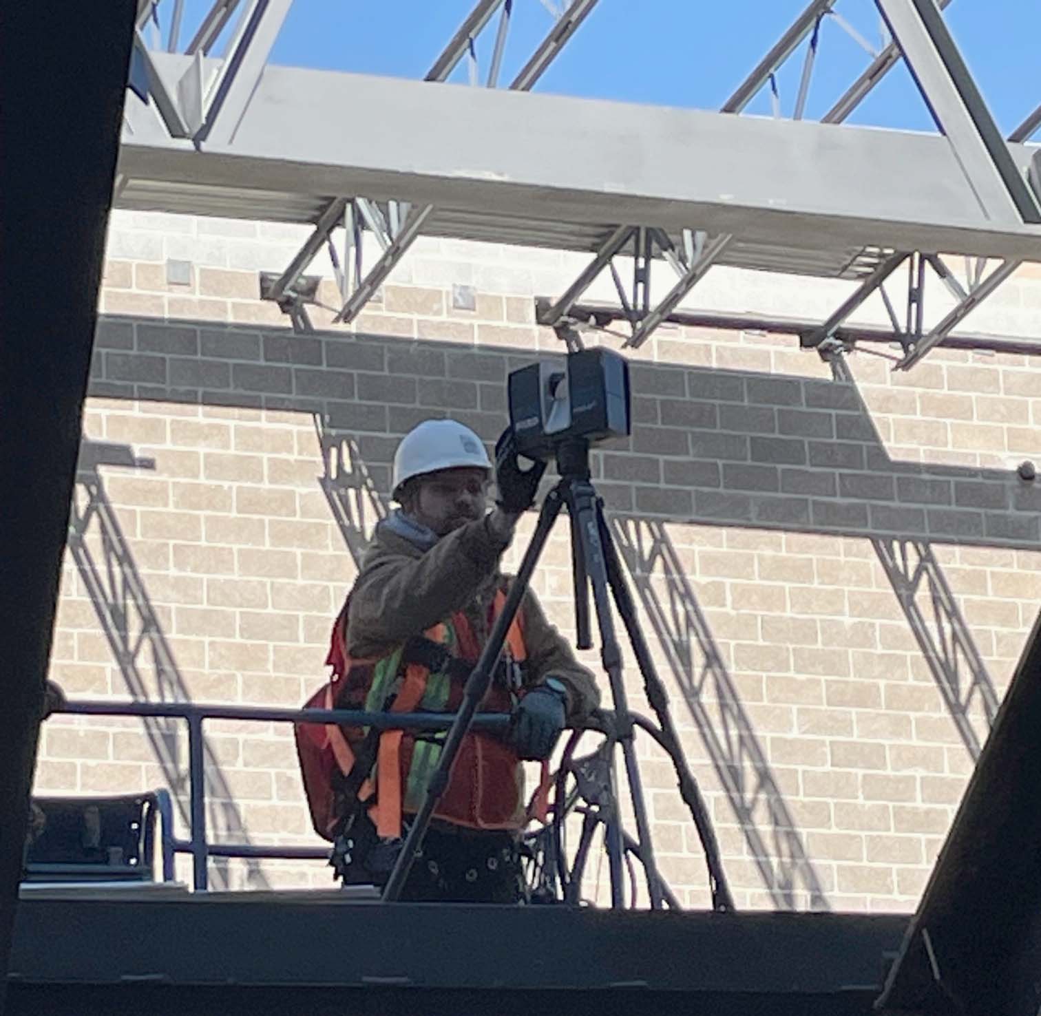
Check it out in use:

https://youtu.be/RpKSOZpsaeo

https://youtu.be/ZttTeimOpgk


Meridian uses LiDAR scans for Spanish Fork High School construction accuracy.   

By Project Progress

During construction in the auditorium of the new high school, Meridian’s Brian Boehmer scanned the steel for the balcony to obtain a 3D model of the as-constructed beams in impressive detail.  Currently, the school is having precast concrete generated for the balcony which requires verification that the precast concrete will fit the beams as they were installed. The LiDAR scans generate precise, three-dimensional information about the shape of an object or surface in a short time.


The point cloud (shown) is used to create a 3D model of the extracted beams in AutoCAD Civil3D that the architect can use for verifying whether the concrete will fit. 


Meridian survey crew implements a Trimble Robotic Total Station at the Maple Mountain High School Football Field improvement project.   

By Project Progress

Meridian survey crew chief, Mo Sykes, initiated this project with a design topography survey of the stadium area prior to the proposed turf installation for the football field and track re-surfacing.  Our civil engineering team used the survey data to overlay the play field design elements. Following that design phase, Heather Butler, survey crew chief, returned for construction layout and one last verification of the surface to ensure the football field is ready for turf to be placed. This verification is part of our process to confirm the required accuracy of the new field is achieved for the proposed turf.


Meridian survey crew travels to Garfield County this week to gather existing bridge structural data for future replacement.

By Project Progress

Meridian’s LiDAR manager and Professional Land Surveyor, Brian Boehmer, gets the credit for these crisp clean views while surveying the existing bridge structure over Henrieville Wash and SR-12 just northeast of Henrieville, Utah. The goal with gathering these scans will be to create 3D CAD models of the existing structure for use by the roadway and structural design teams. 

To accomplish this activity, Meridian scanned both existing structures utilizing terrestrial LiDAR methods – LiDAR = Light, Detection and Ranging. The use of remote sensing technology is used to provide a detailed point cloud and subsequent 3D Model of the existing structures to expedite design workflows for the team.

In Brian’s words, “The best part of field work away from the office is the wonderful views and landscapes. Being in an area with no cell service is a close second!”


Take a Virtual Picture Tour of a Bryce Canyon Hike

By News and Updates

Last month, a couple of Meridian Engineering employees attended the 2016 UGIC (Utah Geographic Information Council) Conference in Bryce Canyon to further their GIS skills and get in touch with some vendors and clients. During the conference, there was a geologic tour and hike of a popular hiking trail, the Queen’s Garden. Take a look at how you can turn some geotagged photos, from a smartphone, into a nicely presented Story Map using the tools of ArcGIS Online from Esri.

To see this map in a separate browser tab, click here: http://arcg.is/1Wt7nPX. How can GIS help your organization become more transparent and help present ideas in a more spatial way? Please contact us!