Category

Project Progress

Meridian surveys at new heights in Parleys Canyon, Utah

By News and Updates, Project Progress

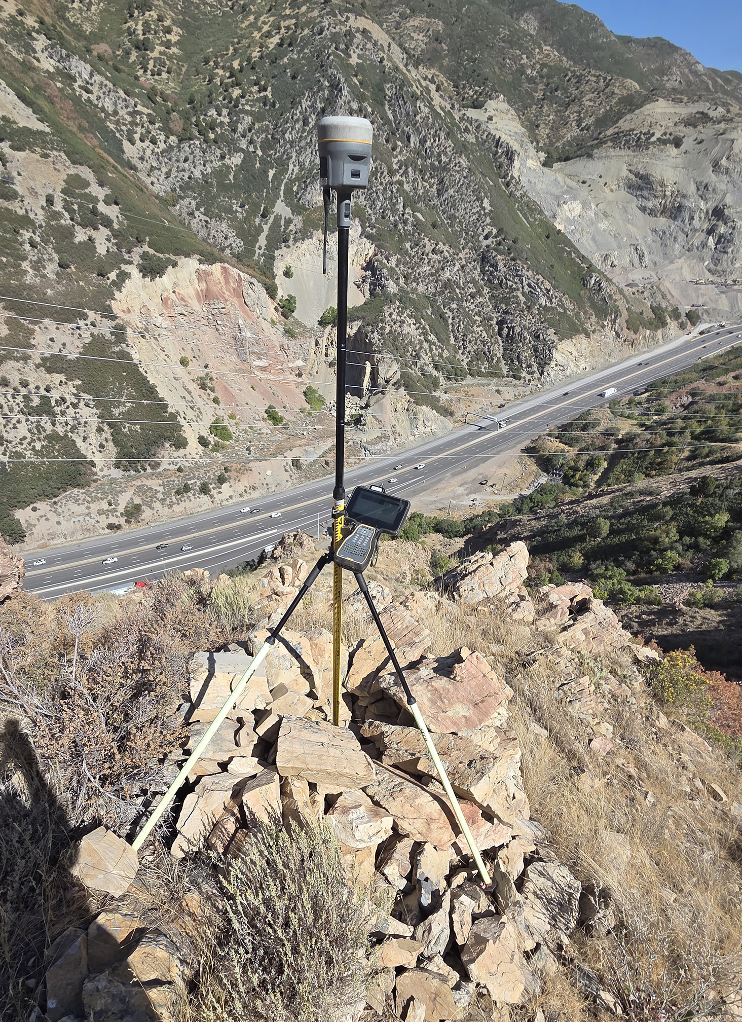
Meridian Engineering’s field crews recently headed into the steep slopes of Parleys Canyon to perform surveying services along the I-80 corridor for UDOT Region 2. Covering approximately milepost 129.85 to 131.1, the work supports boundary analysis and a forthcoming Record of Survey (ROS) for the I-80 right-of-way, including evaluation of adjoining landowner parcels such as the gravel pit area.

This preliminary effort is essential for defining the ROW corridor, analyzing crossing agreements, and determining controlled access in preparation for potential future infrastructure improvements.

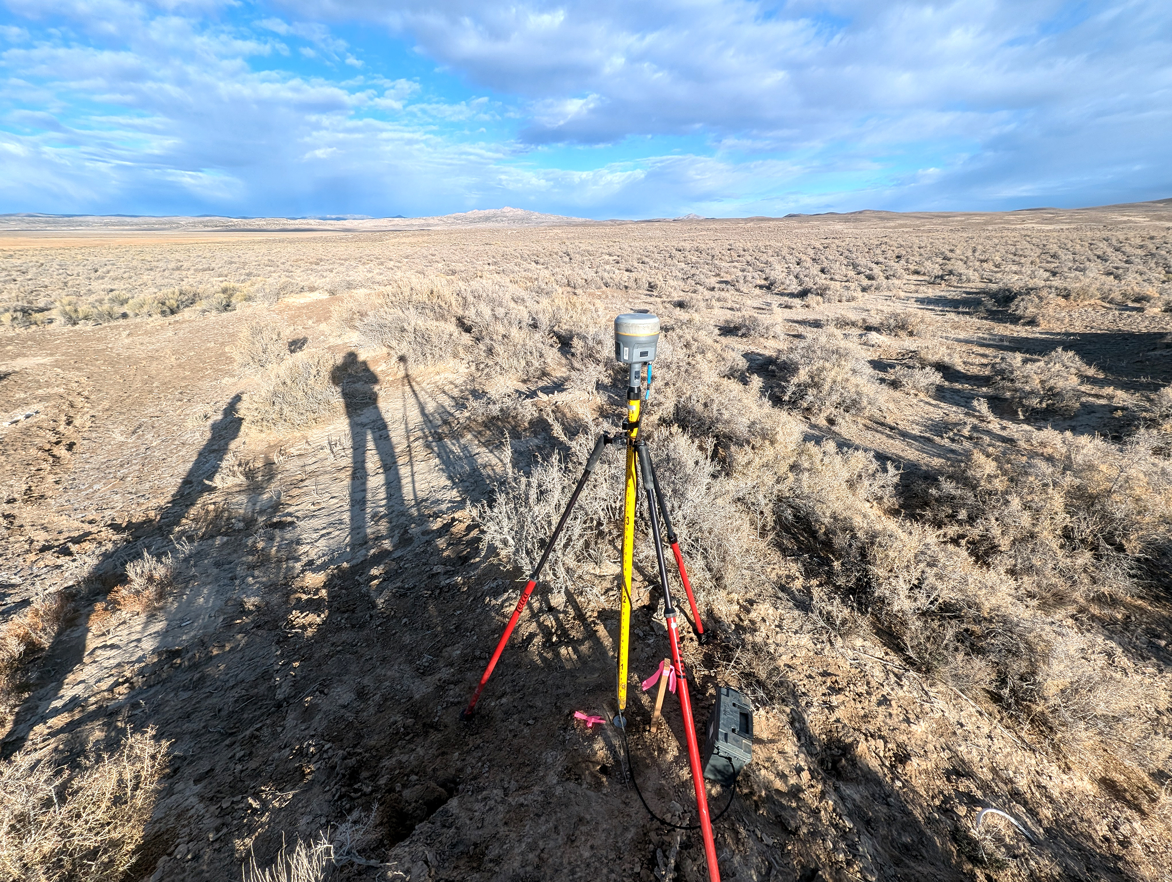
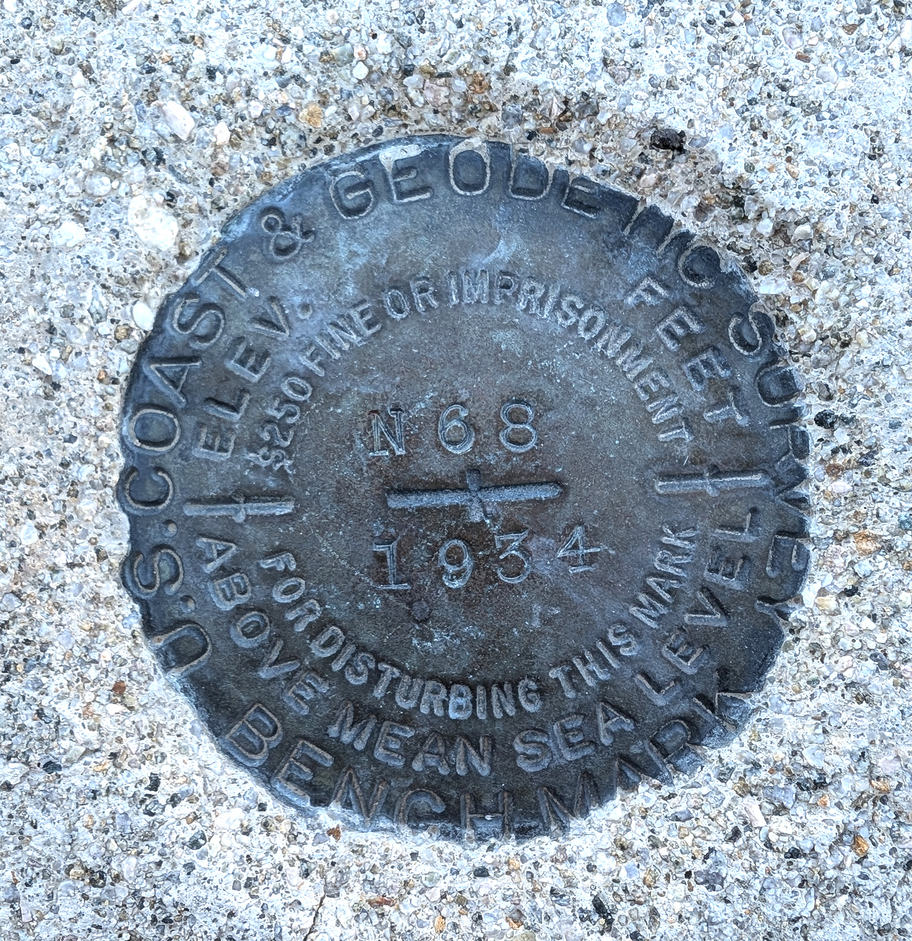
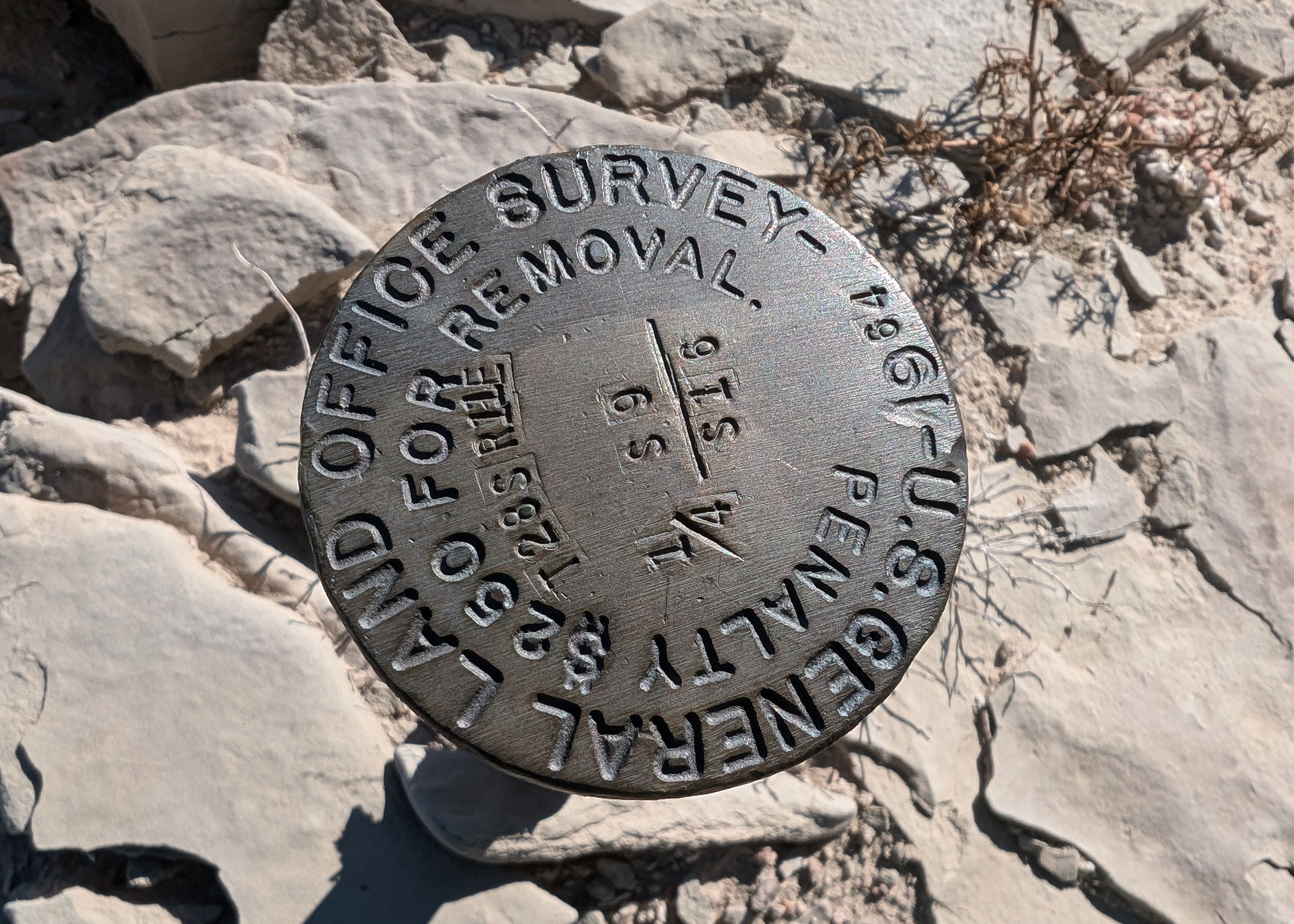
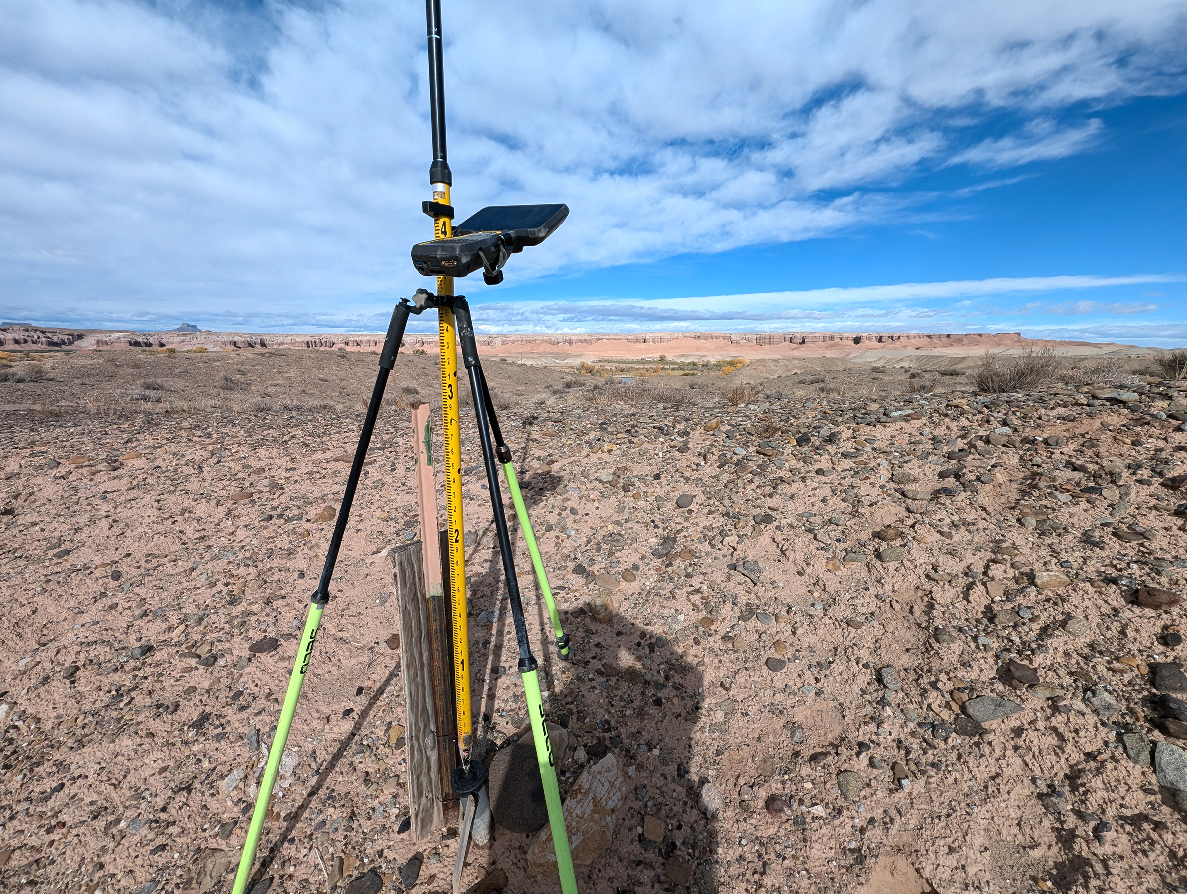
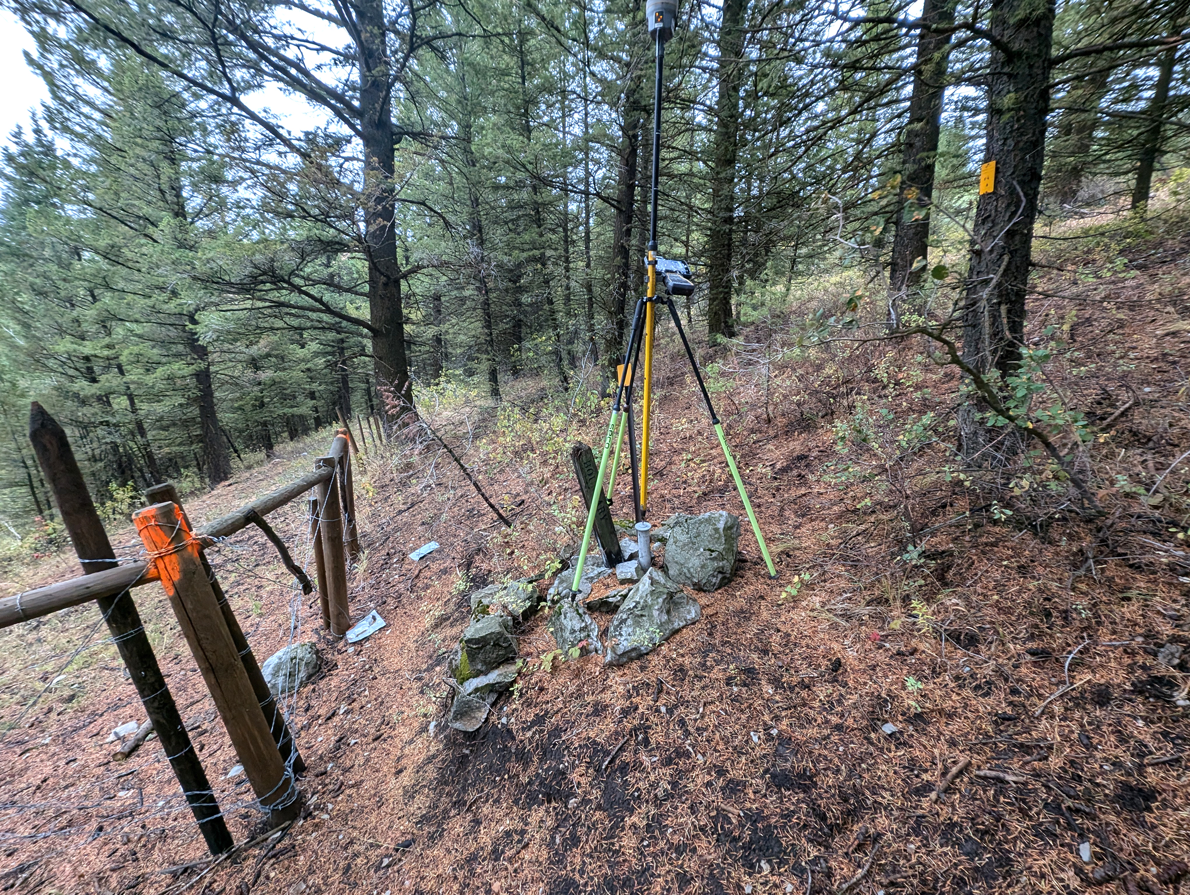
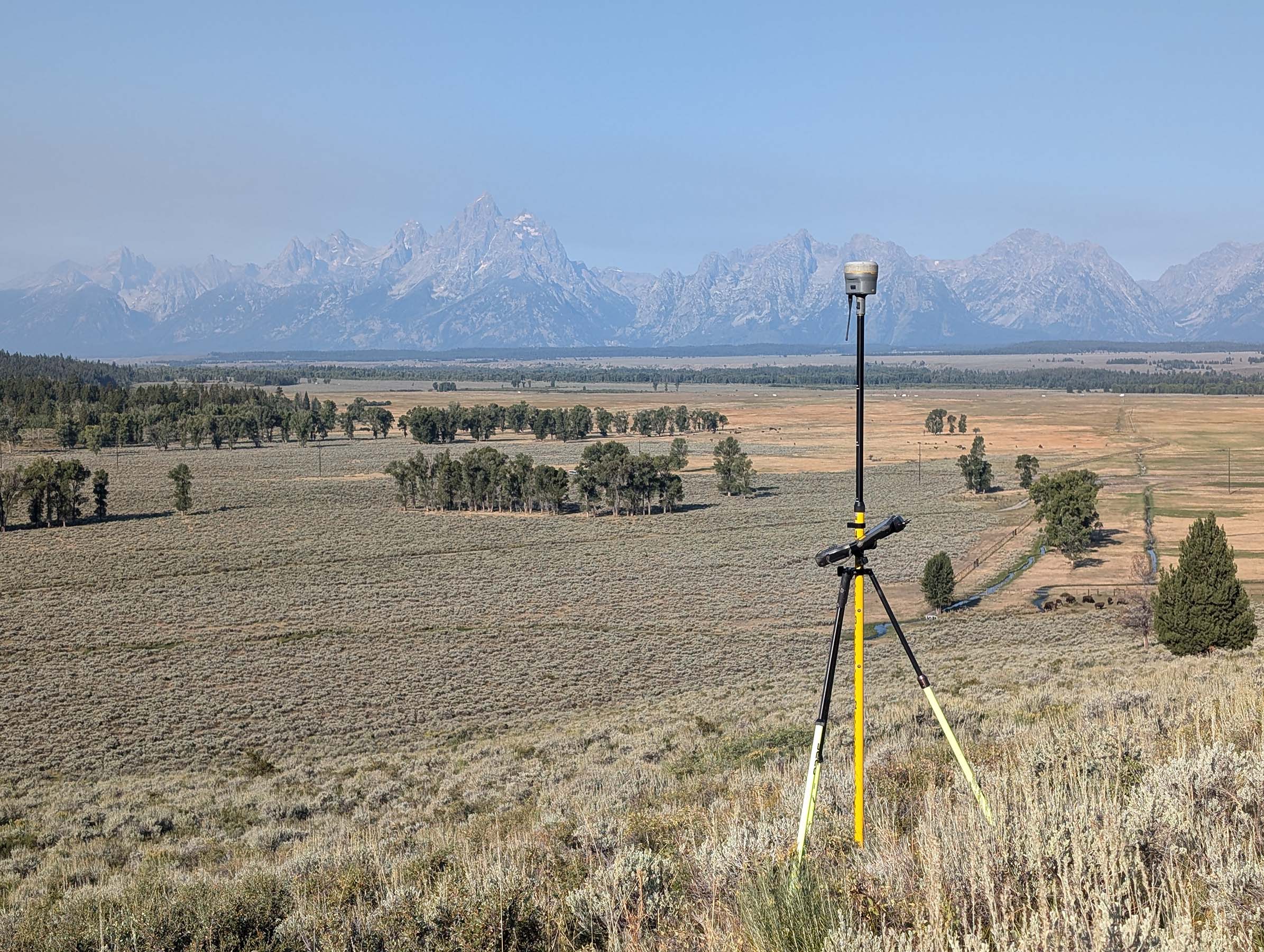
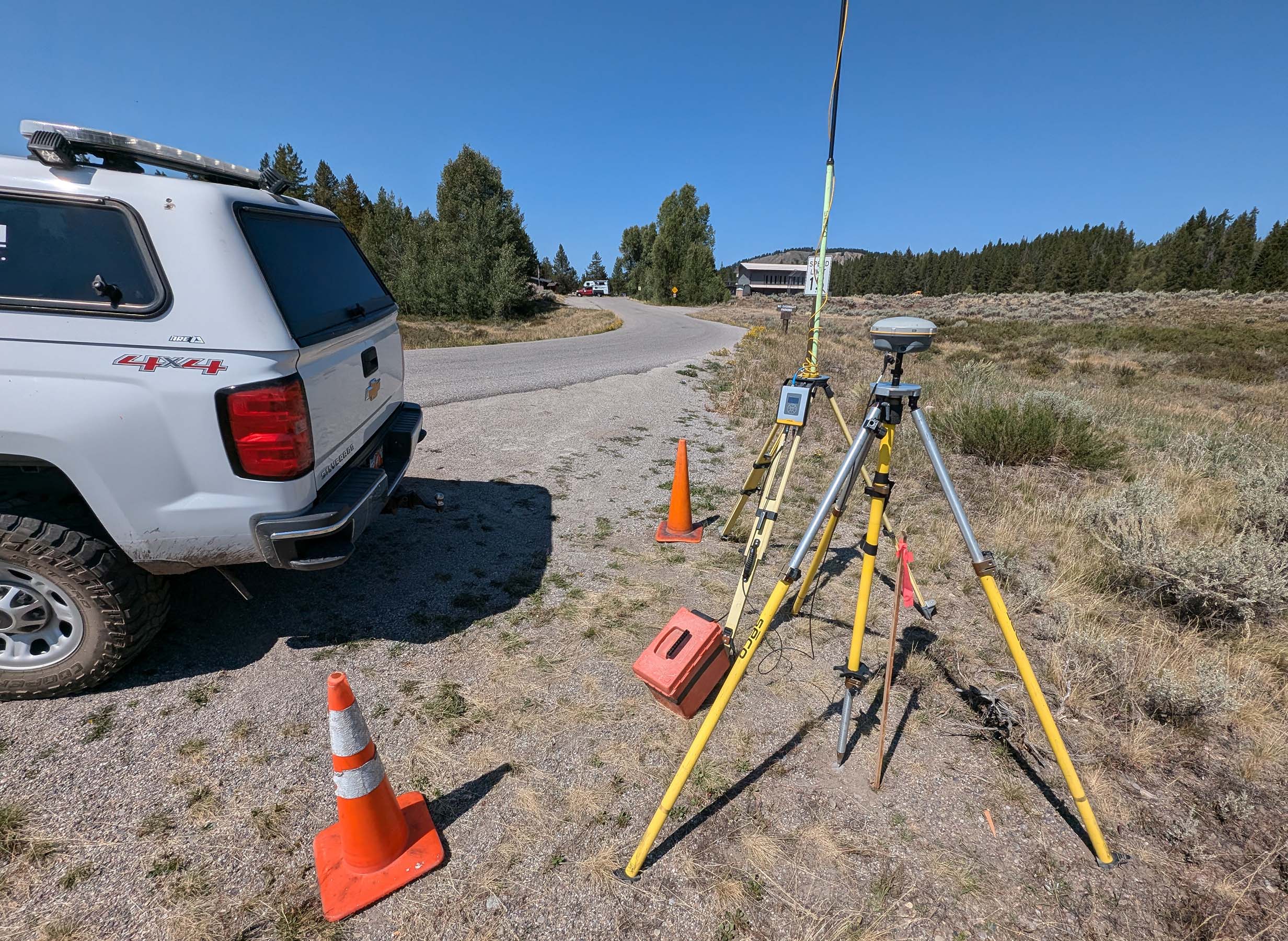
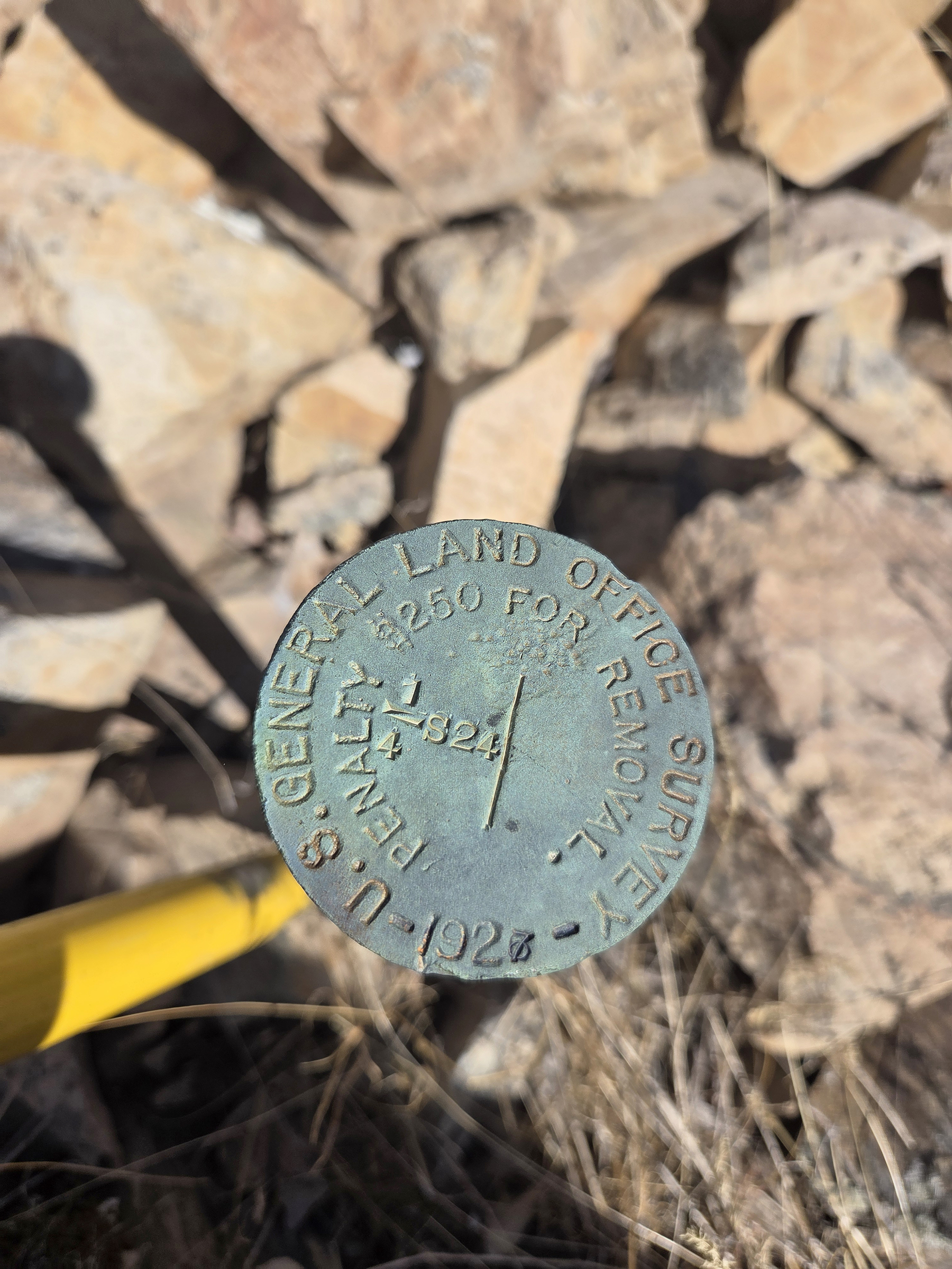
Meridian’s scope includes: Searching for and observing Public Land Survey System monumentation and right-of-way marker monuments, Surveying deed-controlling evidence, and Constructing up to 20 new ROW markers along the corridor to perpetuate the I-80 alignment.

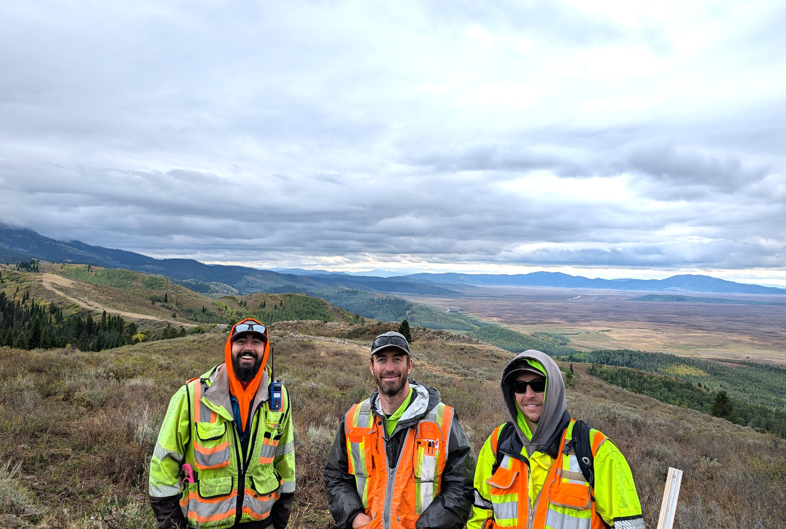
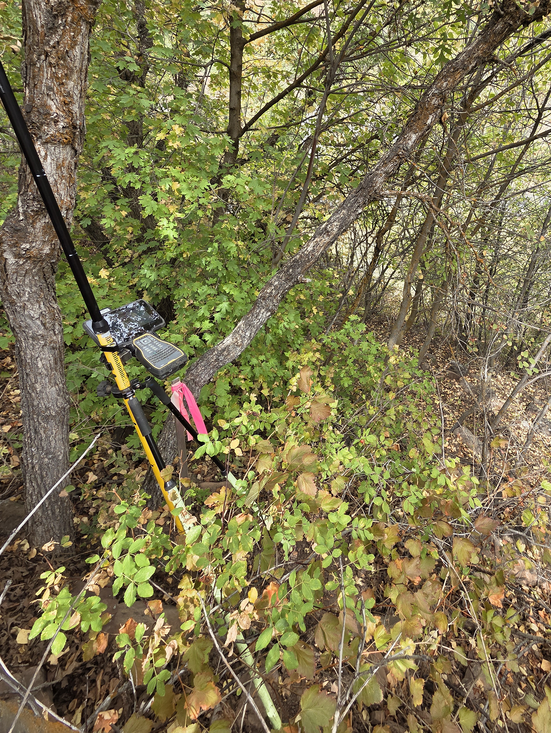
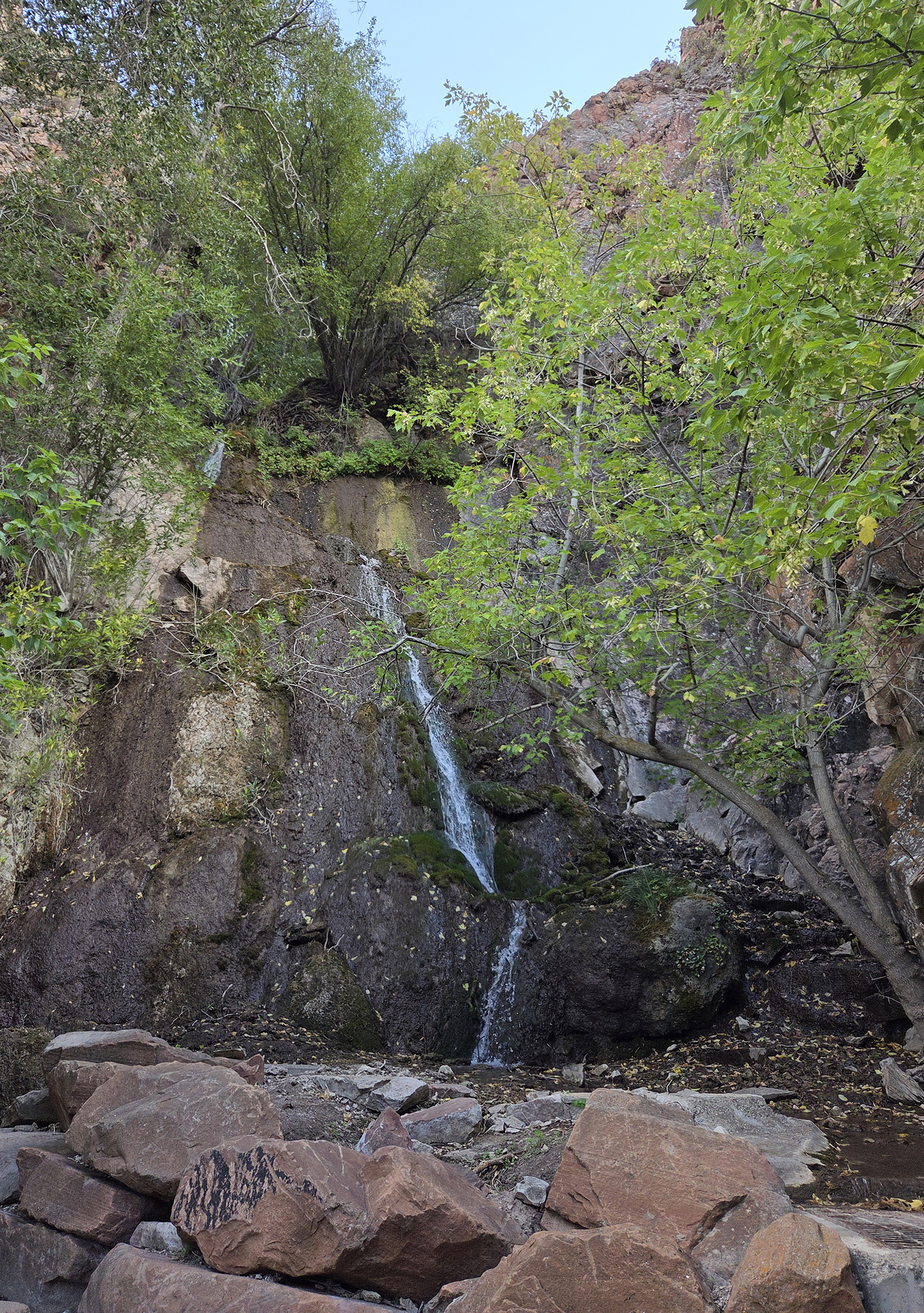
Crews navigated rugged canyon slopes, dense brush, and rocky terrain billy-goating through the landscape to complete the work. Along the way, they encountered both the challenges of steep cliffs and the rewards of scenic canyon features, including a waterfall.

The final phase will involve analyzing the ROW corridor of I-80 in conjunction with adjoining land records to prepare the official Record of Survey. The ROS will undergo UDOT QA/QC review before being filed with the Salt Lake County Surveyor’s Office, in accordance with Utah State Code 17-23-17.

Meridian goes to Ibapah, Utah

By News and Updates, Project Progress

Meridian Engineering’s field crews recently conducted surveying services on BIA Route 1 Ibapah road through tribal lands. This road is requiring renovation due to deterioration over the years. Crews encountered a few interesting survey monuments dating back to 1934 along with enjoying spectacular desert scenery.

While partnering with UDOT Region 2, Meridian collected monumentation for the Public Land Surveying System with oversight support from our own Certified Federal Surveyor (CFedS), provided design quality mapping, and developed existing right of way files to support design for this 35-mile long corridor. Our scope included establishing a primary static GPS control network, identifying and observing right of way markers, performing UAV aerial surveys of the corridor, developing and leveling secondary control for the contractor, and creating detailed base mapping.

Our senior UAV pilot secured the necessary permissions for these aerial operations while coordinating with Tooele County, the Goshute Housing Authority, the Bureau of Indian Affairs, and ensured compliance with UDOT aeronautical requirements.

Meridian goes to Hanksville, Utah!

By News and Updates, Project Progress

Survey crew chiefs at Meridian love a new adventure especially with great views like these! Recently, Meridian’s survey crew retraced PLSS corners, collected boundary evidence, and analyzed Hanksville’s townsite plat of lots and blocks for this project. Meridian’s team combined technical expertise with the opportunity to work in the area’s exceptional natural beauty for the purpose of preparing a record of survey to file with the Wayne County Recorder.

Who doesn’t love red rock?

nice monument!

Wow…nice day!

Meridian goes to Grays Lake Wildlife Refuge Idaho

By News and Updates, Project Progress

Meridian’s survey crews recently embarked on an exciting project at the breathtaking Grays Lake National Wildlife Refuge in Bonneville County, Idaho. During initial field visits, our team focused on recovering and verifying boundary corners and monuments including original Public Land Survey System (PLSS) monuments.

The fieldwork provided stunning views and an opportunity to secure unique boundary corners and PLSS monuments. This work plays a vital role in supporting land acquisitions and boundary management for the additional lands secured by the Rocky Mountain Elk Foundation for wildlife conservation.

Meridian goes to Elk, Wyoming

By News and Updates, Project Progress

Meridian Engineering’s survey teams had the opportunity recently this summer to work at Grand Teton National Park and the scenic landscapes of Elk, Wyoming, where they conducted field investigations for an ALTA/NSPS Land Title Survey.

While adhering to Wyoming State Code, the team collected boundary evidence for analysis by our Wyoming PLS, surveyed Public Land Survey System (PLSS) monuments, and collected essential base mapping data for future design purposes. Upon project completion, a signed and stamped copy of the survey will be filed with the Teton County Clerk’s office.

While the team didn’t spot any elk during the survey, they did encounter antelope and buffalo, making for a truly splendid field survey experience in Teton County.